
Learn names through pictures
Landforms and geology name typing
Look at the pictures and type the names of landforms and geology.
Explore 16 names, one at a time.
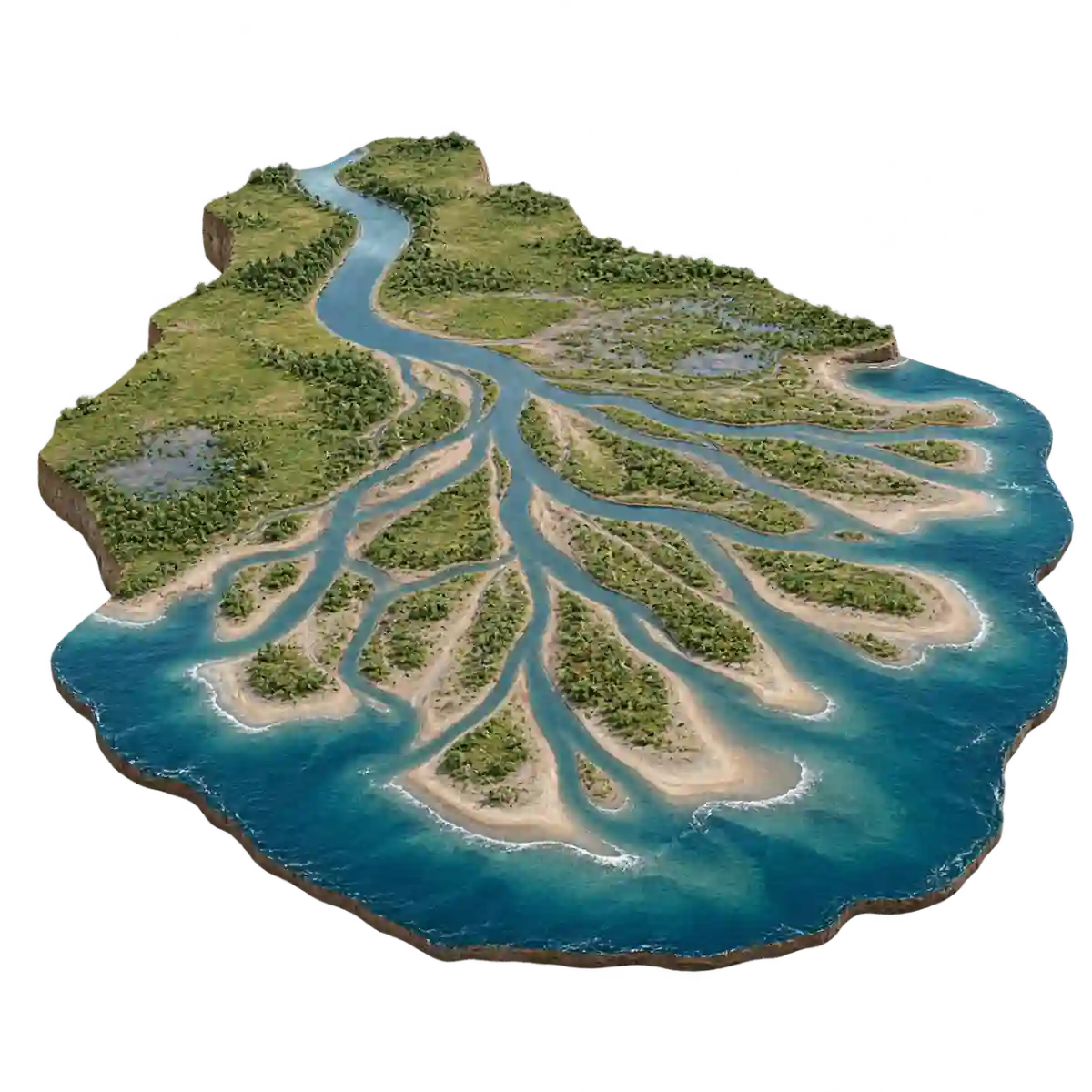
landforms and geology typing guide →
About Landforms and geology name typing
Landforms and geology name typing pairs conceptual models with English geographical and geological terms. You can copy River delta or Anticline without having to diagnose a landscape from a photograph. The current name remains visible. Look at the model, read the label and type it as a complete answer, using the diagram to give the word a visual context.
The basic set contains 16 terms from River delta to Syncline. It includes representative river, coastal and layered-rock concepts. The list below the game shows the precise selection. The scope is introductory vocabulary, rather than a complete geography syllabus or a survey of every possible geological structure.
Similar-looking models still have separate labels. Read River delta and Alluvial fan as different terms, and keep Anticline distinct from Syncline. River delta has Delta as a registered alternative; Meander also accepts Meandering river. These forms are supplied for particular entries. A general word such as river or fold does not replace every more specific name.
The diagrams are conceptual models, not maps of named places, measured surveys or geological maps. Shape alone does not establish how a real feature formed. Do not infer an actual site history or geological condition from a simplified illustration. Use the round to become comfortable spelling the terms before exploring them in a suitable geography or geology resource.
The first nonempty input starts the timer. A matching display name or registered English alternative advances automatically, so Enter is unnecessary for a correct answer. You can edit an unfinished word directly. Pressing Enter on an incorrect nonempty answer counts one error and clears the field; it does not count every deleted letter. After finishing, review elapsed time, keystrokes per minute and errors, then retry or choose another set. Best times stay in this browser separately for each topic, set and language.
How to play
- Choose a landforms and geology set and check its scope and number of entries. Read the first visible English label before typing; the picture is there as context, so no advance memorization is needed.
- Type the displayed name or an English alternative registered for that entry. Read long labels in chunks while entering a single complete answer. Case, spaces and the supported punctuation variations are ignored during matching.
- When the answer matches, the next entry appears automatically without Enter. Check the new picture and label before continuing so the last letters of one word do not become the beginning of the next.
- Correct an unfinished answer directly in the field. Enter on a wrong nonempty answer adds one error and clears the input, leaving the same entry available to try again. Empty Enter does not count as an error.
- Finish the set to see elapsed time, keystrokes per minute and errors. Retry starts a new round; set selection lets you change the range. The best completion time is stored in the current browser for this topic, set and language.
Who is it for?
- Learners who want to read English landforms and geology vocabulary with a picture and a visible name rather than an unlabelled identification quiz.
- Readers who encounter terms such as River delta and Meander in introductory material and would like to become more comfortable writing them.
- People looking for a short, fixed-order typing activity that can be repeated at their own pace, with time and error statistics at the end.
- Families or study partners who want to compare the printed labels and registered alternatives together, while keeping the limitations of the illustrations in view.
Practice sets
- Basic 16 · 16 names
16 selected landforms and geology names, from River delta to Syncline. Read the complete labels beside the representative pictures and compare names such as Alluvial fan and Meander.
Names and spelling
Similar-looking models still have separate labels. Read River delta and Alluvial fan as different terms, and keep Anticline distinct from Syncline. River delta has Delta as a registered alternative; Meander also accepts Meandering river. These forms are supplied for particular entries. A general word such as river or fold does not replace every more specific name.
Registered English alternatives provide specific comparisons within this list: River delta also accepts delta; Meander also accepts meandering river; Oxbow lake also accepts oxbow; Sand dune also accepts dune. These alternatives apply to the individual entries shown here. The game does not translate an arbitrary answer, infer every synonym or accept an entire category in place of a specific name. If an alternative does not work, copy the visible label in full.
English answers are compared without letter case, spaces and the supported punctuation differences. You can also enter Latin letters without accent marks, use full-width forms, or type ss in place of ß. Those conveniences do not change the order of words or make different numbers equivalent. A supporting reading line is not automatically an accepted alternative: the displayed name and the registered answer list determine what passes.
Practice tips
- Read the whole term before relying on a familiar model.
- Keep a delta separate from an alluvial fan.
- Check the beginning of Anticline and Syncline.
- Compare Delta with the full River delta label.
- Do not add a real place name to the answer.
- Use conceptual models for vocabulary rather than inferring the origin of a real landscape.
Frequently asked questions
Do I need to recognize the landforms and geology before playing?
No. The current English name is displayed with every picture, so you can read and copy it. Landforms and geology name typing is practice in writing visible labels, and does not require you to guess an answer from an unlabelled image. Start slowly and use the name list below the game to review the vocabulary.
How many names are included and which set should I choose?
The basic set contains 16 terms from River delta to Syncline. It includes representative river, coastal and layered-rock concepts. The list below the game shows the precise selection. The scope is introductory vocabulary, rather than a complete geography syllabus or a survey of every possible geological structure.
Which English alternatives are accepted?
River delta also accepts delta; Meander also accepts meandering river; Oxbow lake also accepts oxbow; Sand dune also accepts dune. Only the alternatives registered for the current item are accepted. They do not enable automatic translation or every possible synonym. The displayed name is always a safe way to continue, even if you are unsure which other form is registered.
Do capitalization, spaces and spelling marks have to match exactly?
Letter case and spaces are ignored, along with the supported punctuation variations. Latin accent marks and full-width forms are normalized in this language, and ß can be entered as ss. The meaningful letters, number and order still need to match a registered answer. Read the whole current label rather than relying on just one shared word.
What can I learn from the pictures, and what are their limits?
The diagrams are conceptual models, not maps of named places, measured surveys or geological maps. Shape alone does not establish how a real feature formed. Do not infer an actual site history or geological condition from a simplified illustration. Use the round to become comfortable spelling the terms before exploring them in a suitable geography or geology resource.
How do the timer, errors and best times work?
The timer starts at the first nonempty input and stops when the set is finished. An error is counted when Enter is pressed on an incorrect nonempty answer, rather than for every deletion or correction. The best completion time is saved in this browser separately by topic, set and language. Retry begins a new round; using shorter registered alternatives can change the amount of typing.
Conceptual landform and geological models, not maps or surveys. Shape alone does not establish how a real feature formed.